Zimbabwe scientists use geospatial mapping technology to predict pending disasters
July 20, 2019
By Wallace Mawire
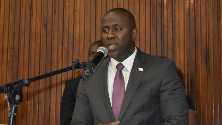
[caption id="attachment_61786" align="alignnone" width="1000"] Professor Amon Murwira[/caption]
After Cyclone Idai ravaged southern Africa, killing at least 1,000 people, Zimbabwe’s scientific community is actively using geospatial mapping technology to better predict future disasters.
The cyclone hit southern African countries including Mozambique, Malawi and Zimbabwe.
In Zimbabwe, at least 268 people were killed and many are still missing. Local scientists hope that despite lags in scientific advancement, their use of geospatial technology and space technology will allow them to foresee climate-induced risks and disasters.
Amon Murwira, Zimbabwe’s Minister of Higher and Tertiary Education Science and Technology Development, confirmed the country’s use of science and technology to guard Zimbabwe from climate shocks.
This includes the use of High Performance Computing (HPC), geospatial and space technology. Murwira said that local scientists were conducting Cyclone Idai impact assessments using color-coded geospatial and space technology.
“Zimbabwe is suffering from climate shocks such as drought, floods and disease outbreaks, we can guard Zimbabwe from these shocks in future using science and technology,” professor Murwira said.
In cyclone-hit areas like Ngangu, a suburb in Chimanimani, Professor Murwira said that scientists were already using data analysis. The government-sponsored scientists were also trying to help locate and retrieve several corpses which were buried underground during the devastating cyclone.
The scientists are modeling areas anticipated to be high-risk using geospatial mapping to help them prepare for future disasters.
Professor Murwira said that scientists in cyclone-hit areas were starting to predict future malaria outbreaks and mapping vegetation density using the same geo-spatial and space technology.